Grizzly Creek Fire — Post-Fire Water Quality, Runoff & Soil Monitoring Program
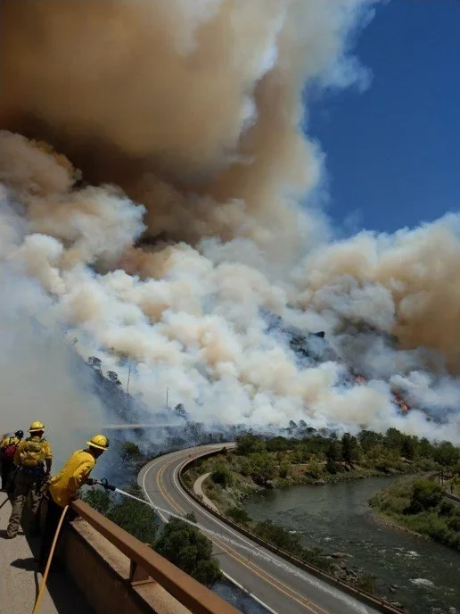
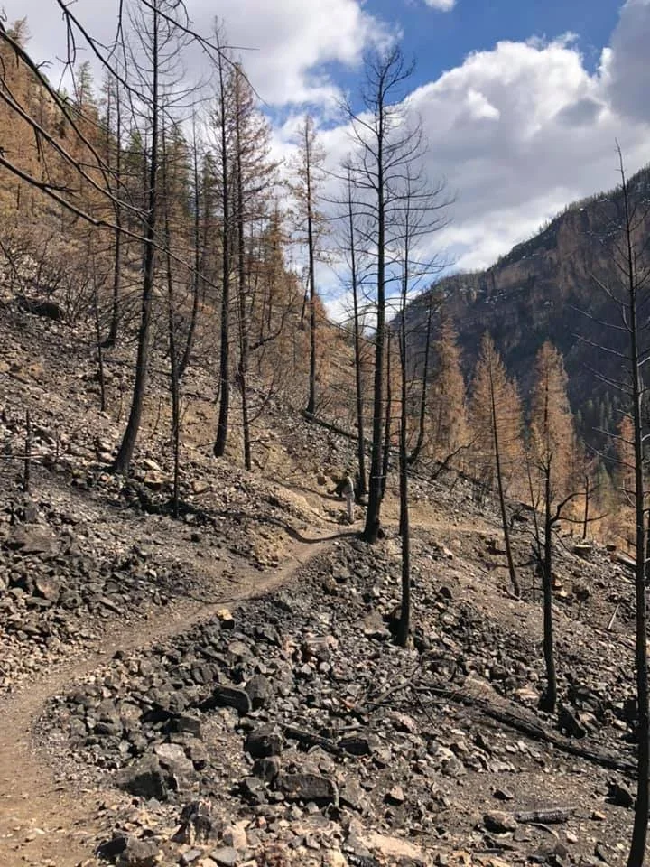
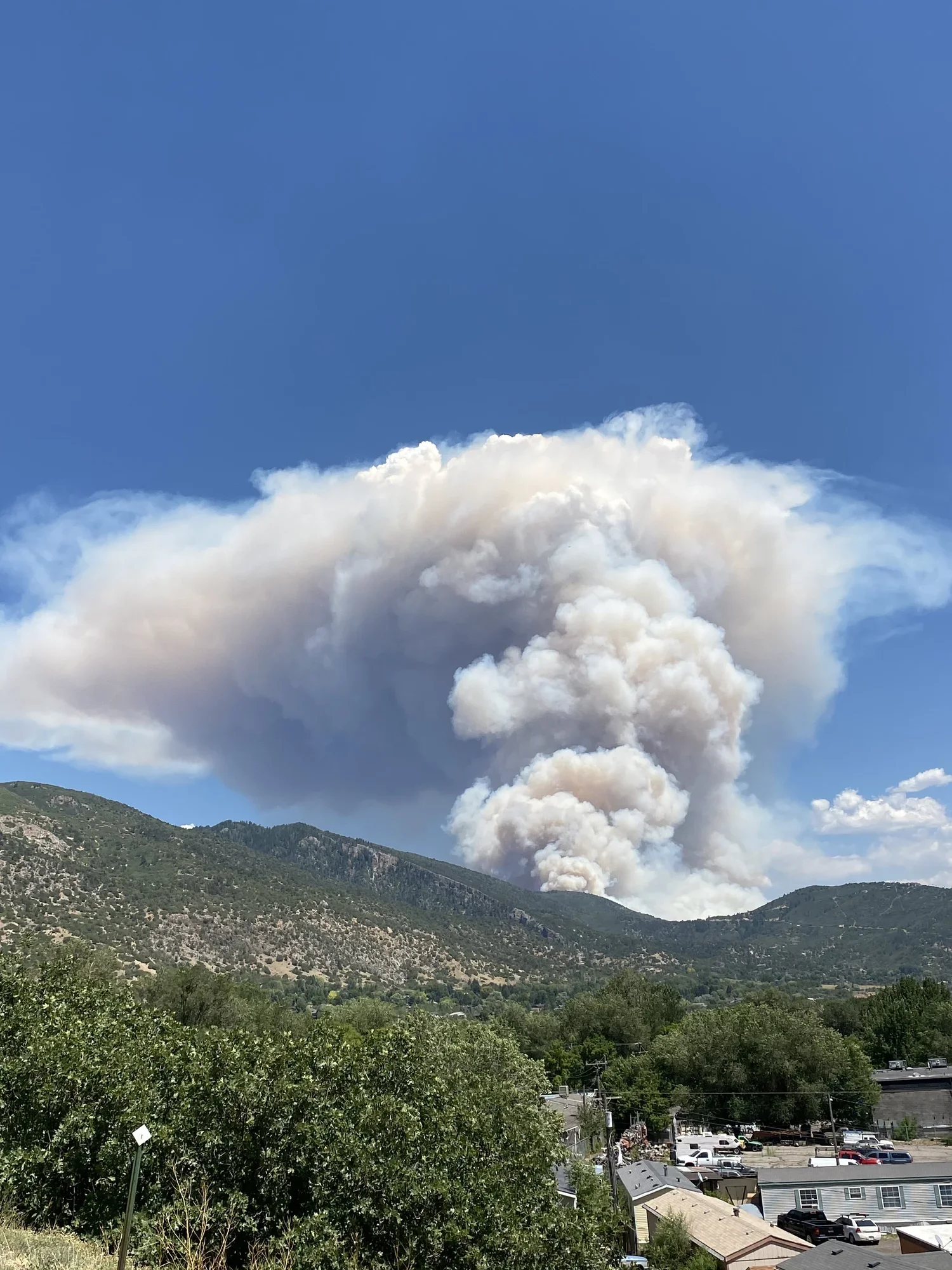
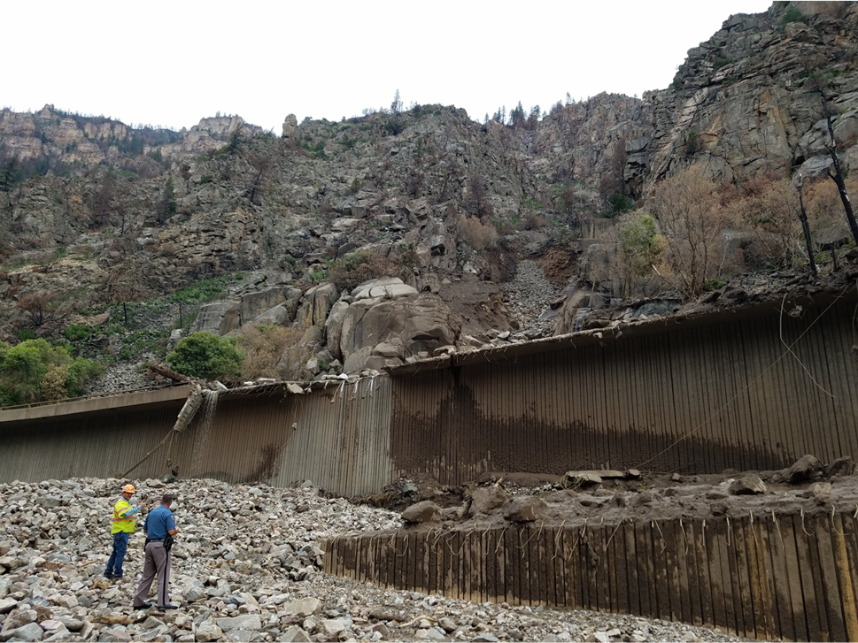
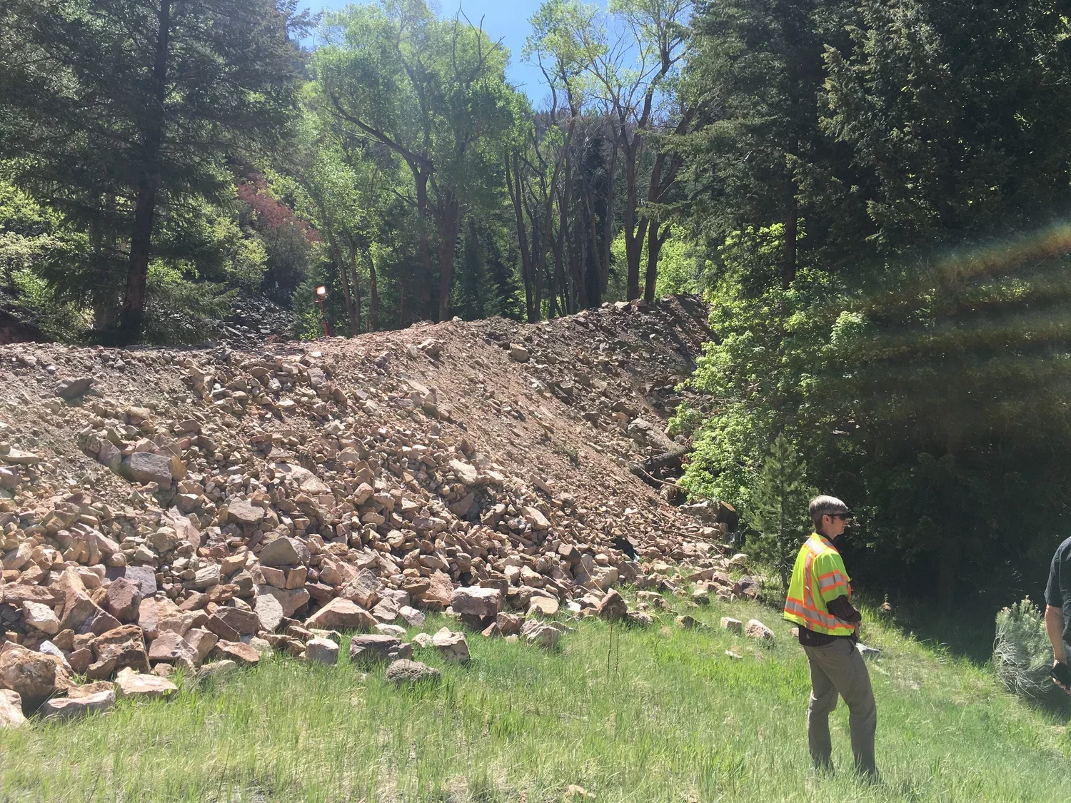
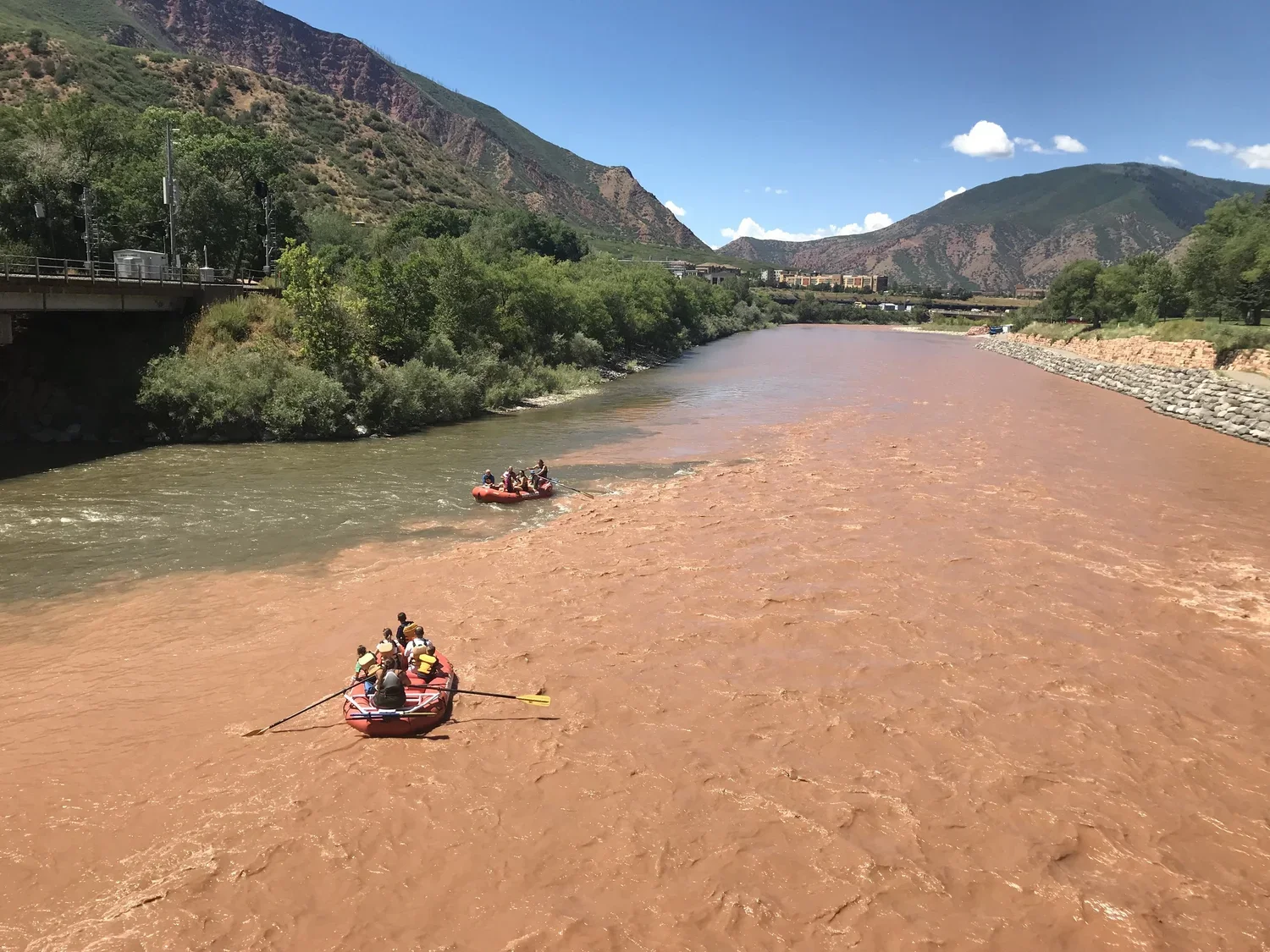
Grizzly Creek fire and post fire photos courtesy CDOT, Mike Sawyer, Frank Martin and MCWC.
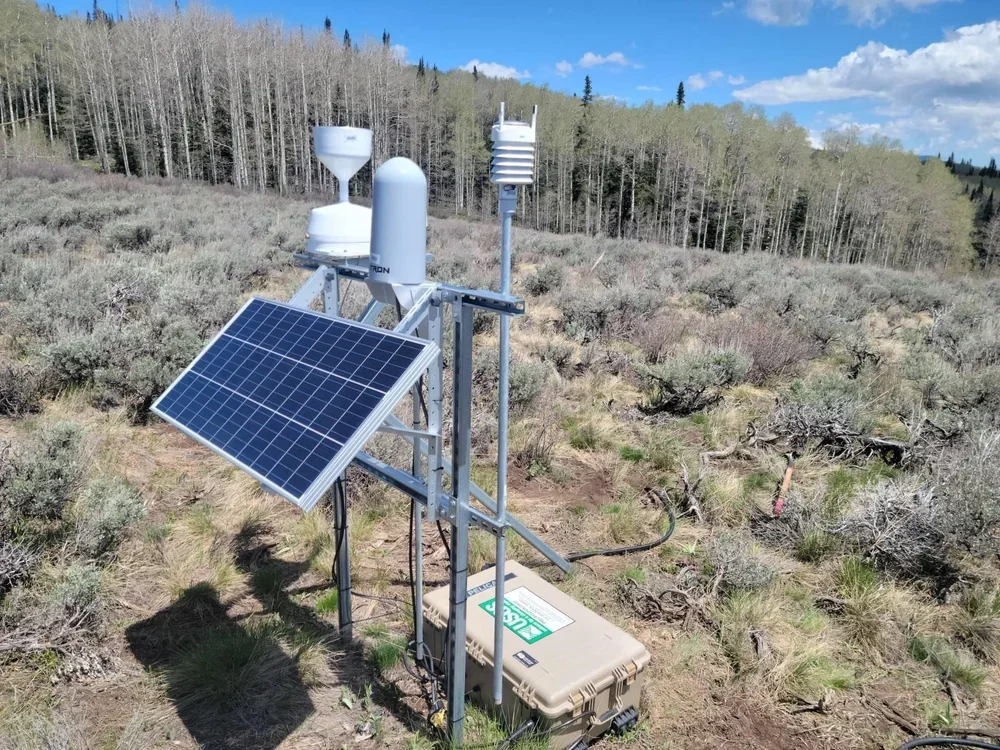
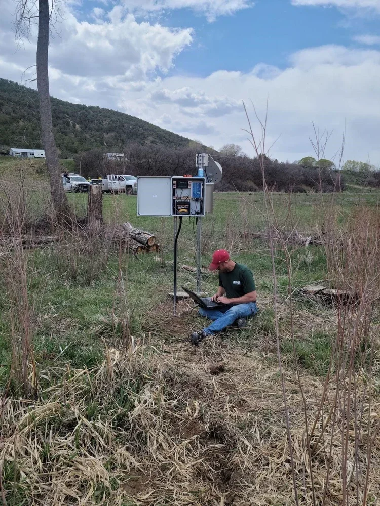
Following the 2020 Grizzly Creek Fire, MCWC built a network of water quality, precipitation, and soil moisture monitoring stations across the burn scar to track impacts and support flood warning systems.
Why It Matters
The Grizzly Creek Fire left the Colorado River corridor vulnerable to erosion, flooding and degraded water quality for years afterward. Real-time monitoring gives MCWC and partner agencies the data needed to protect downstream communities and water users as the watershed recovers.
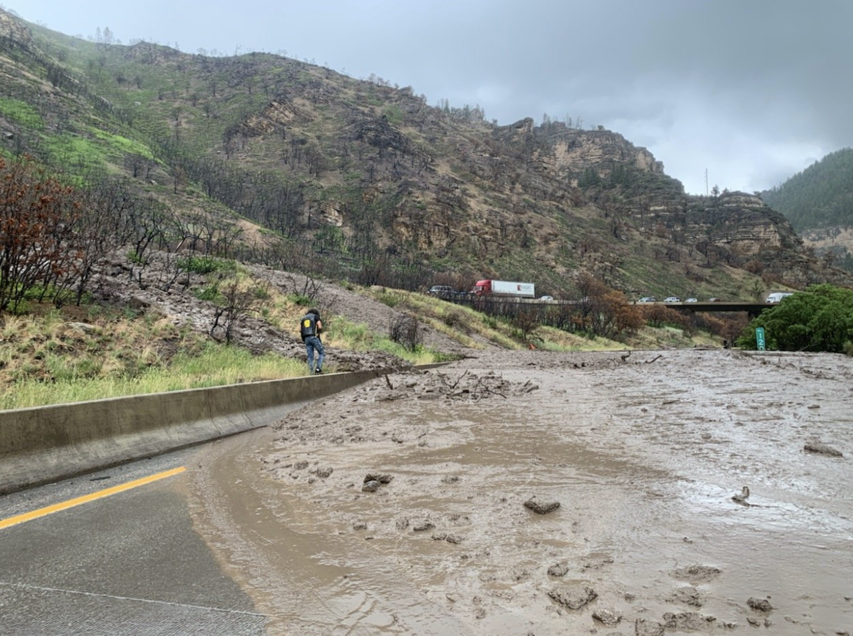
Courtesy CDOT, Mike Sawyer
Impact Numbers
A fire that burned for 131 days left a watershed that needed years of careful watching.
32,631 acres burned over 131 days, beginning August 10, 2020
7 rain gauges installed across the burn scar to track storm events
7 soil moisture sensors installed to monitor runoff and debris flow risk
4 discrete water quality sampling sites monitored in 2022
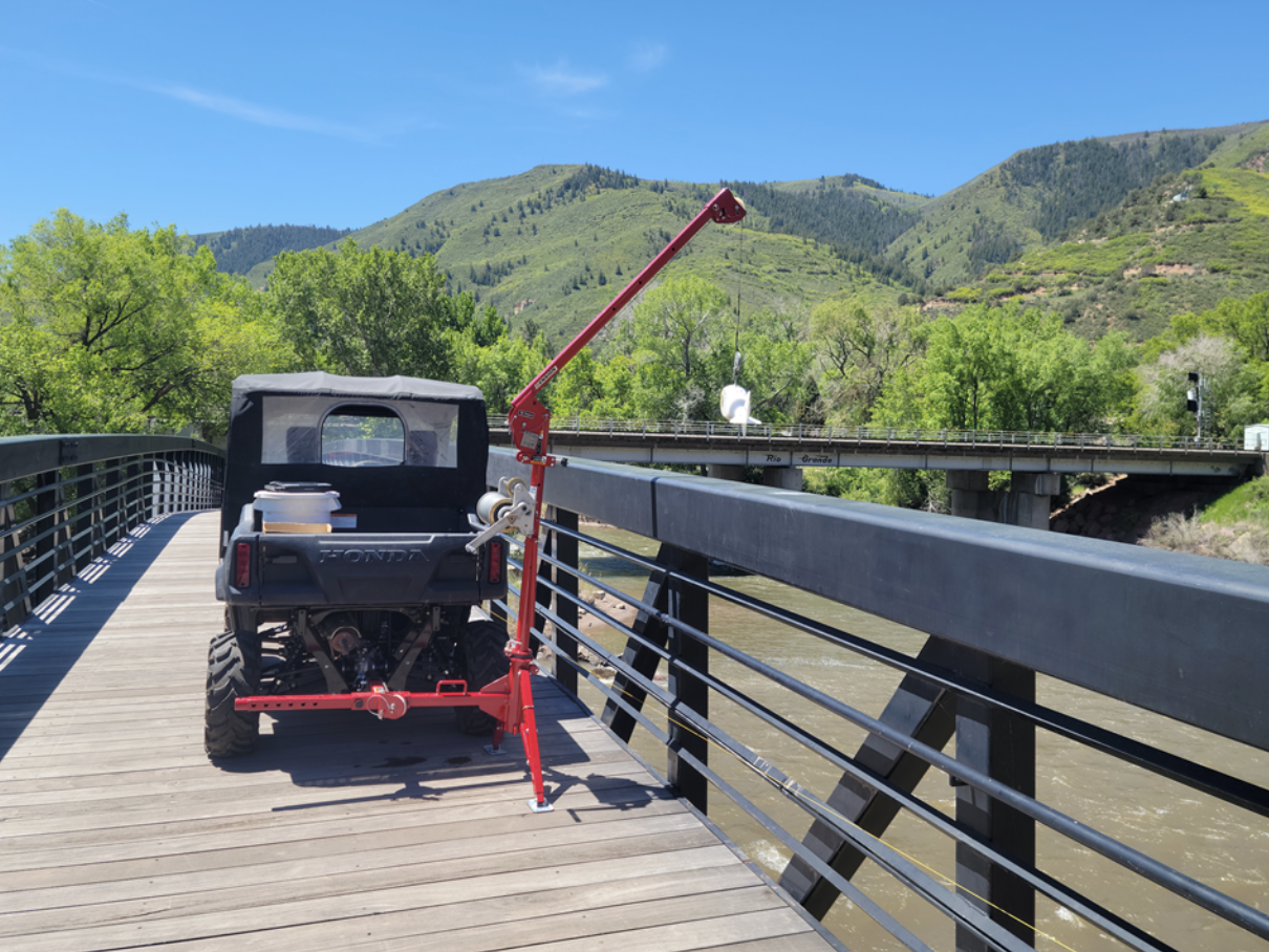
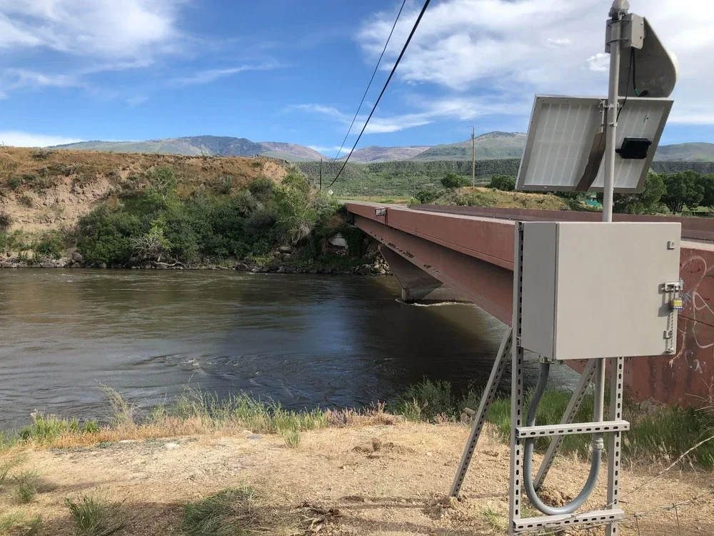
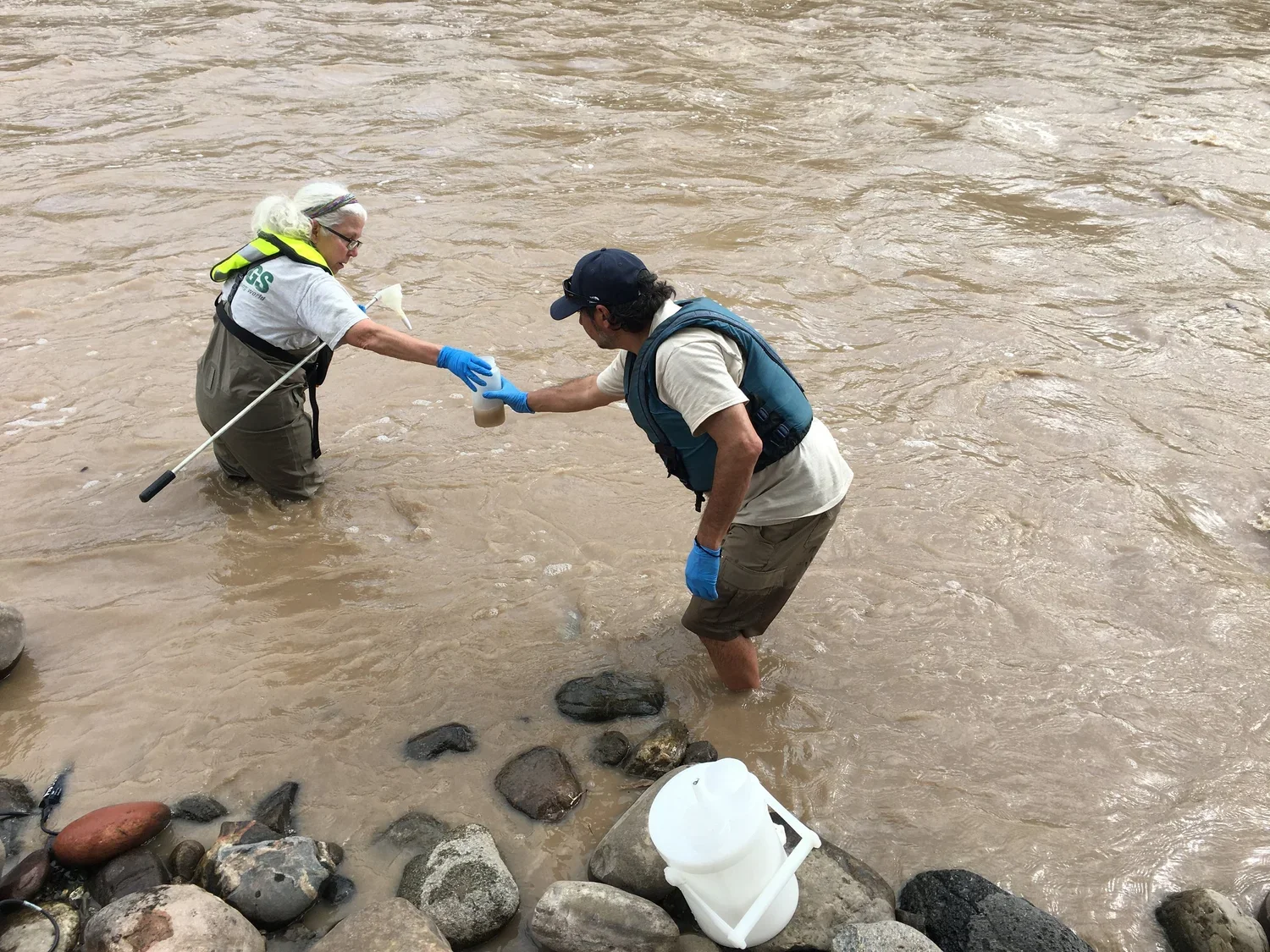
Equal Width Increment Samples from the Colorado River Pedestrian Bridge above Roaring Fork River
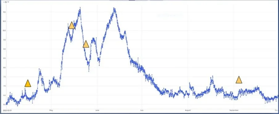
Equal Width Increment Samples from the Colorado River Pedestrian Bridge above Roaring Fork River
Budget
Monitoring equipment and installations were carried out through a technical partnership between MCWC and USGS, with data shared with NOAA, the National Weather Service and CDOT to support flash flood warning systems.
Timeline
The Grizzly Creek Fire began August 10, 2020. In 2021, MCWC established a water quality and precipitation monitoring network, including rain gauges, a data sonde at No Name Creek, and automatic samplers for the Colorado River. In April 2022, USGS installed an advanced ISCO autosampler above the Roaring Fork River confluence, expanding sampling to four sites across the burn scar. Additional soil moisture sensors and mid-reach monitoring stations near Rulison and Silt were added in 2022 to fill a 61-mile monitoring gap along the Colorado River.
Connection to IWMP
This monitoring network advances MCWC's Wildfire Resilience focus area, supporting post-fire recovery and protecting water quality across the burn scar and downstream communities.
Beneficiaries
| Downstream water users | Emergency responders | Long-term watershed recovery |
|---|---|---|
| Real-time water quality data protected communities and facilities relying on the Colorado River downstream of the burn scar. | Rain gauge data supported NOAA and the National Weather Service in issuing timely flash flood warnings, including during radar outages in 2022. | Soil moisture and water quality data build a long-term record to guide recovery and future wildfire resilience planning. |
Location
Grizzly Creek Fire burn scar, Glenwood Canyon, Garfield County, including Grizzly Creek, No Name Creek, the Colorado River and Mitchell Creek (baseline site)
Status
Funding has concluded and post-fire monitoring stations have been taken offline. With continued vegetation recovery in Glenwood Canyon, the watershed has transitioned beyond the period of highest post-fire risk, reducing the likelihood and severity of flash flooding and mudslides compared with conditions immediately following the Grizzly Creek Fire (2021–2023).
Funders & Collaborators
U.S. Geological Survey (USGS)
National Oceanic and Atmospheric Administration (NOAA)
National Weather Service (NWS)
Colorado Department of Transportation (CDOT)