
Shop
Illustrated Watershed Map
Sarah Uhl Artwork Sales benefit MCWC
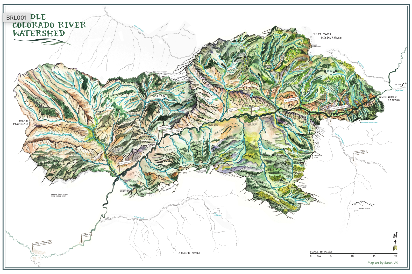
About the Illustrated Watershed Map
Commissioned by the Middle Colorado Watershed Council (MCWC) with support from Alpine Bank, this hand-illustrated map celebrates the beauty, ecology and communities of the middle Colorado River watershed—from Glenwood Canyon to De Beque. A collaboration between the Council and Colorado artist Sarah Uhl, the work supports environmental education and local art while honoring a sense of place with a beautiful, enduring watercolor representation.
-
The Middle Colorado Watershed Map was created to:
• Celebrate the natural and cultural richness of the middle Colorado River watershed
• Support environmental education and local art
• Benefit the the Middle Colorado Watershed Council
-
A hand-illustrated, artistically rendered depiction of the watershed's geography, natural features and communities, the map balances geographic accuracy with artistic expression. Featured elements include:
• The Colorado River and its major tributaries
• Lakes, reservoirs and watershed boundaries
• Iconic canyons, peaks and landmarks
• Towns and cities
-
Each map is a premium floating-framed canvas for an upscale look.
• Frame colors: Pecan, Off-White or Black
• Canvas: Mounted to a hard backing board that won't dent
• Frame depth: 1.25" deep with a .25" frame face
• Canvas inset: .25" all around for a clean, elegant finish
• Ready to hang
Printed canvas material is mounted to a backing board, then inset into the framing for a polished, quality presentation.
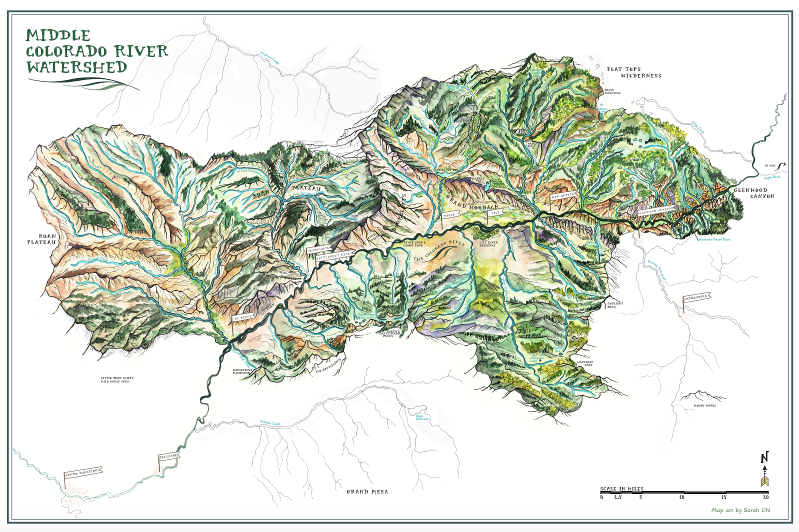
A hand-illustrated, watercolor-style map of the middle Colorado River watershed—from Glenwood Canyon to De Beque—created by Colorado artist Sarah Uhl in collaboration with the Middle Colorado Watershed Council (MCWC) and Alpine Bank. This premium floating-framed canvas balances geographic accuracy with artistic beauty, featuring the Colorado River and tributaries, lakes and reservoirs, watershed boundaries, iconic canyons and peaks, and local towns.
Each purchase supports environmental education and local art while benefiting MCWC.
Premium floating-framed canvas, ready to hang
Canvas mounted to a hard backing board (won't dent)
Frame: 1.25" deep with a .25" frame face
Canvas inset: .25" all around for a clean, elegant finish
Frame color choices: Pecan, Off-White, or Black