Water Quality & Weather Monitoring Data Dashboard
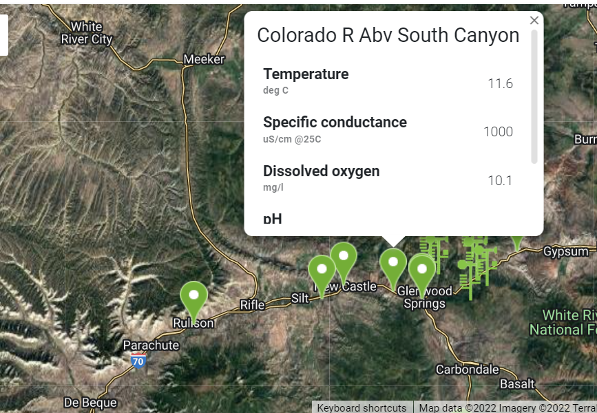
MCWC built a real-time Data Dashboard giving seven Western Slope towns and their water treatment plants direct access to water quality, precipitation, and soil moisture data to protect their drinking water infrastructure.
Why It Matters
Since the 2020 Grizzly Creek Fire, downstream water treatment plants have faced ongoing risk from debris flows, ash, and sediment. Real-time data and automatic alerts let towns act before problems reach their treatment plants, not after.
Impact Numbers
Seven towns, one shared dashboard, giving every water plant a direct line to the data that protects it.
7 towns with individual dashboard access: Glenwood Springs, New Castle, Silt, Rifle, Parachute, De Beque, and Battlement Mesa Metro District
2-tiered alert system notifying towns when water quality parameters could threaten plant operations
Real-time tracking across multiple USGS monitoring sites on the Middle Colorado River and its tributaries
Budget
Dashboard development was contracted to Justin Trimble of JT Knows, building on the water quality and precipitation monitoring network established by MCWC in 2021.
Timeline
MCWC began building the underlying monitoring network in 2021, following the Grizzly Creek Fire, expanding it through 2022 to include soil moisture sensors and additional water quality monitoring. The Data Dashboard was developed to integrate this data in real time and deployed to all seven partner towns.
Connection to IWMP
This dashboard advances MCWC's Wildfire Resilience and Water Quality & Quantity focus areas, turning ongoing post-fire monitoring data into a practical decision-making tool for downstream communities.
Beneficiaries
| Water treatment plants | The general public |
|---|---|
| Real-time alerts help plant operators respond quickly to changes in water quality before they affect treatment operations. | MCWC shares dashboard data publicly on its website, giving residents visibility into local water quality, flood watch conditions, and stream flow. |
Location
Serving seven towns across the Middle Colorado watershed: Glenwood Springs, New Castle, Silt, Rifle, Parachute, De Beque, and Battlement Mesa Metro District
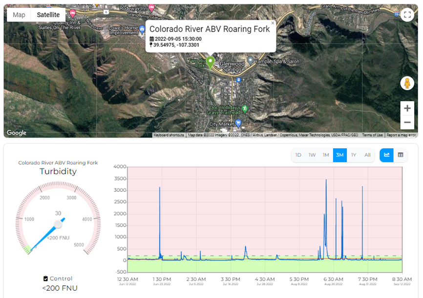
Precipitation Graph for a Selected Location within the Data Dashboard
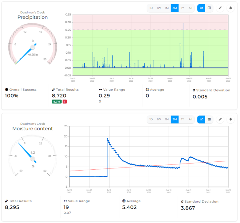
Precipitation Graph for a Selected Location within the Data Dashboard
Status
Built and deployed, in active use by all seven partner towns
Funders & Collaborators
JT Knows (Justin Trimble, developer)
U.S. Geological Survey (USGS)
Seven partner towns and municipalities