Rifle Creek Watershed Assessment
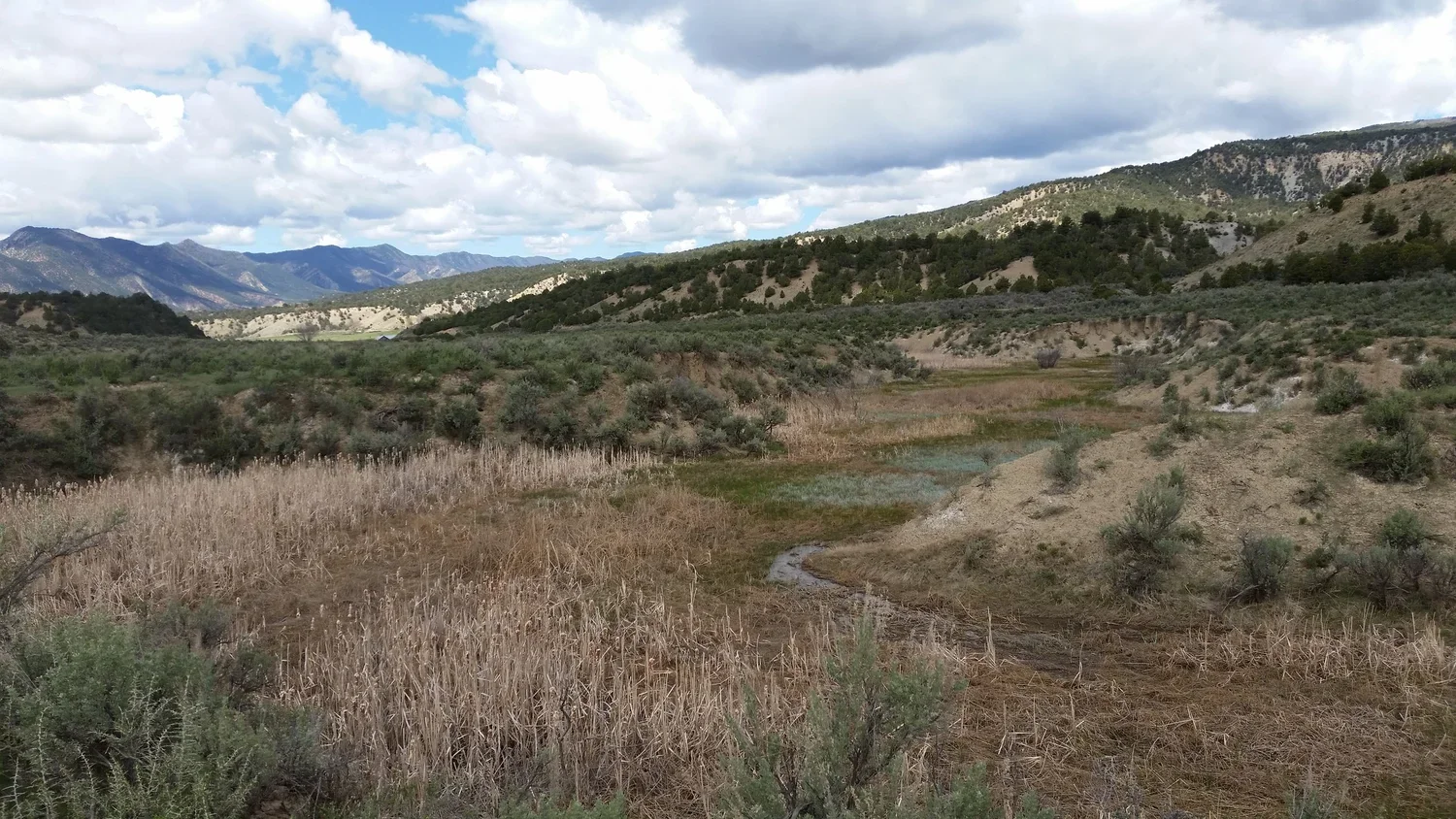
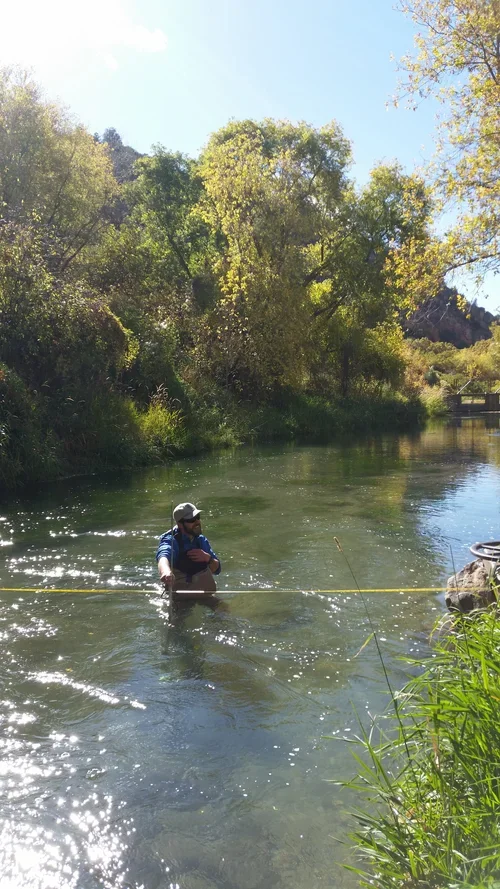
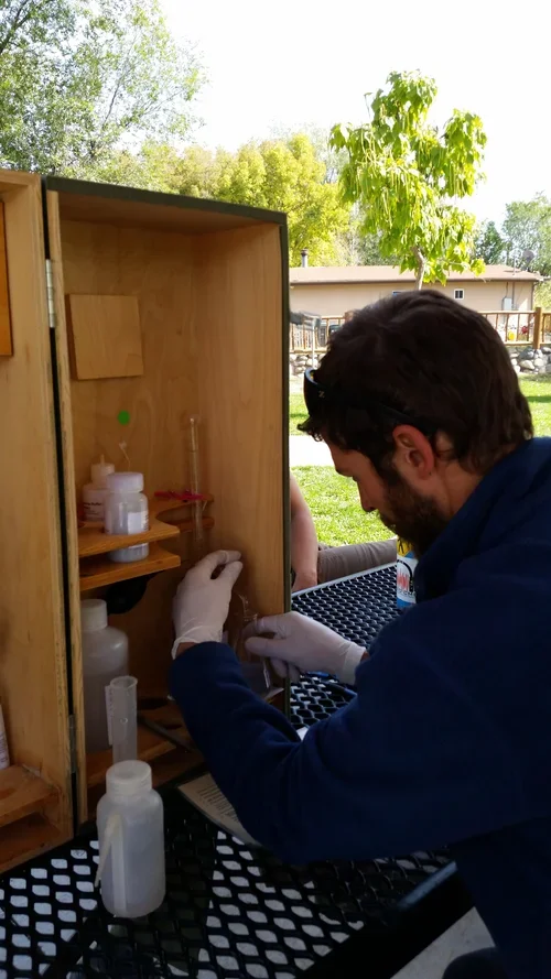
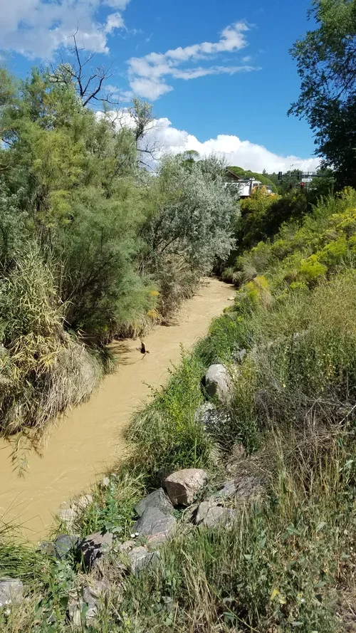
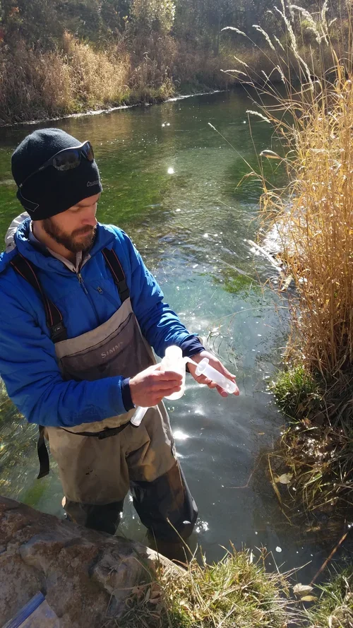
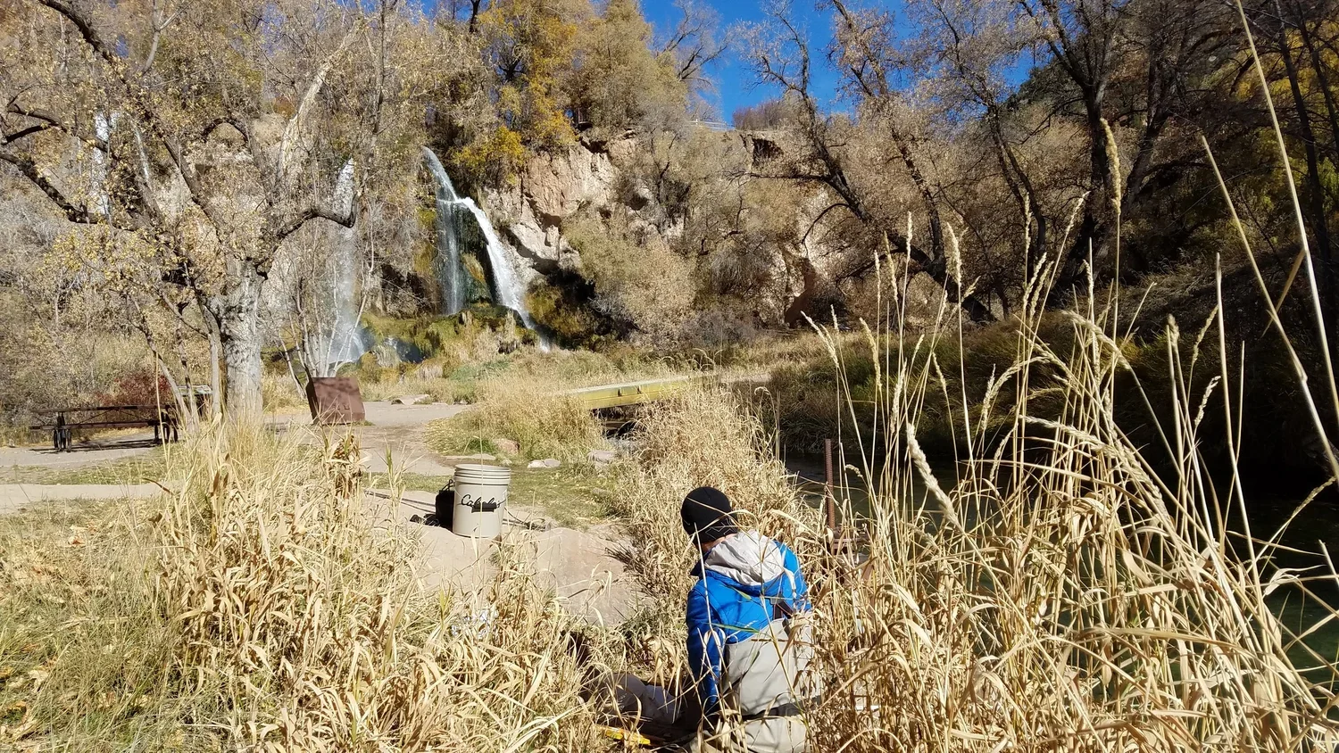
MCWC sampled and analyzed water quality across the Rifle Creek watershed for three years from 2015-2017, developing Best Management Practices (BMPs) to guide ongoing improvement efforts.
Why It Matters
Rifle Creek was flagged on the state's impaired waters list after exceeding selenium limits in 2006–2007. This assessment discovered that selenium levels were not inappropriate, clearing the way for Rifle Creek's removal from that list. However, the assessmentthen revealed arsenic, iron and sulfate as ongoing contaminants, driven by a mix of natural geology, irrigation runoff, land clearingand road building. The assessment provided MCWC with a science-based roadmap to prioritize creek restoration projects.
Impact Numbers
Three years of data turned a flagged waterway into a clear plan for restoration planning and projects..
200 square miles of the Rifle Creek watershed drain through 61 linear miles of perennial streams 13 sites sampled across the watershed, 2015–2017
Budget
Supported by the Colorado Nonpoint Source Pollution Control Program, alongside the Bureau of Reclamation and the Bureau of Land Management.
Timeline
Rifle Creek was added to the state's 303(d) Impaired Waters list following 2006–2007 sampling that found elevated selenium. The Rifle Creek Watershed Assessment began in 2015, with site sampling conducted from 2015 to 2017. Results showed selenium levels were within bounds, qualifying Rifle Creek for removal from the 303(d) list, while arsenic, iron and sulfate levels moved it onto CDPHE's Monitoring & Evaluation List instead. The final assessment was published in 2019.
Connection to IWMP
This assessment directly supports MCWC's Water Quality & Quantity focus area, providing the data and Best Management Practices needed to guide future water quality projects in the Rifle Creek watershed.
Beneficiaries
| Rifle Creek water quality | Downstream water users | Local landowners and partners |
|---|---|---|
| Identifying arsenic, iron, and sulfate levels gives MCWC a clear target for improving stream health. | Communities and ecosystems relying on Rifle Creek benefit from a documented, science-based understanding of its condition. | Best Management Practices give landowners and partners a clear path for reducing non-point source pollution through land use changes. |
Location
Rifle Creek is one of the major tributaries of the Colorado River in MCWC’s stretch of the watershed, spanning 6.5 miles from the Rifle Gap Reservoir to its confluence with the Colorado River. It flows through a state park, BLM, Rifle Creek Golf Course, agricultural properties and municipal Rifle.
Status
Assessment completed. Rifle Creek moved from the 303(d) Impaired Waters list to CDPHE's Monitoring & Evaluation List. Best Management Practices implementation is ongoing. There are several sites identified for improved floodplain, stream channel and riparian zone health and function. There are evolving plans and funding pursuit for restoring riparian vegetation and stabilizing stream banks and beds, and minimizing erosion by improving the floodplain’s capacity for sediment trapping and filtration.
Funders & Collaborators
Colorado Nonpoint Source Pollution Control Program (CDPHE)
Bureau of Reclamation
Bureau of Land Management